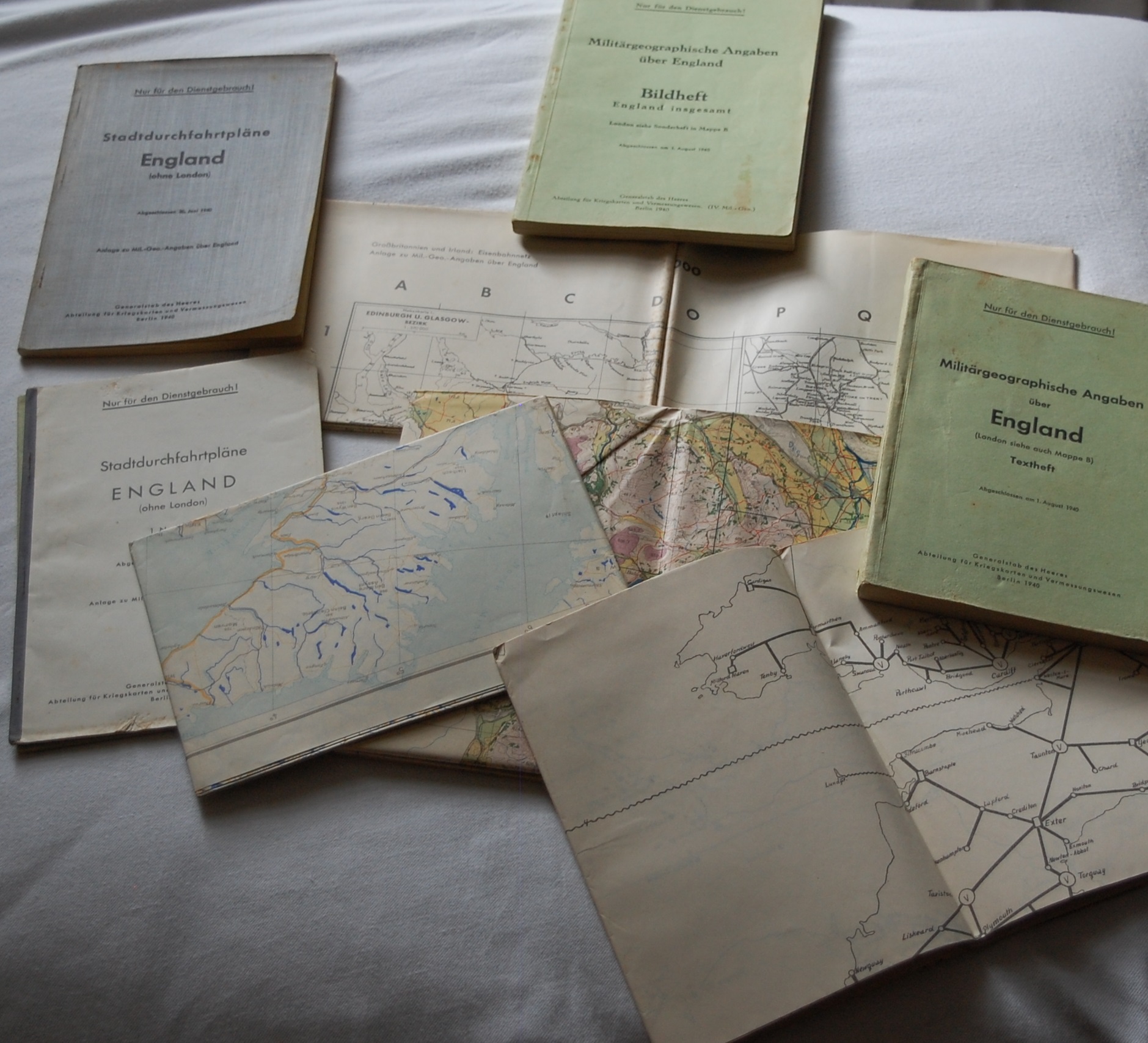
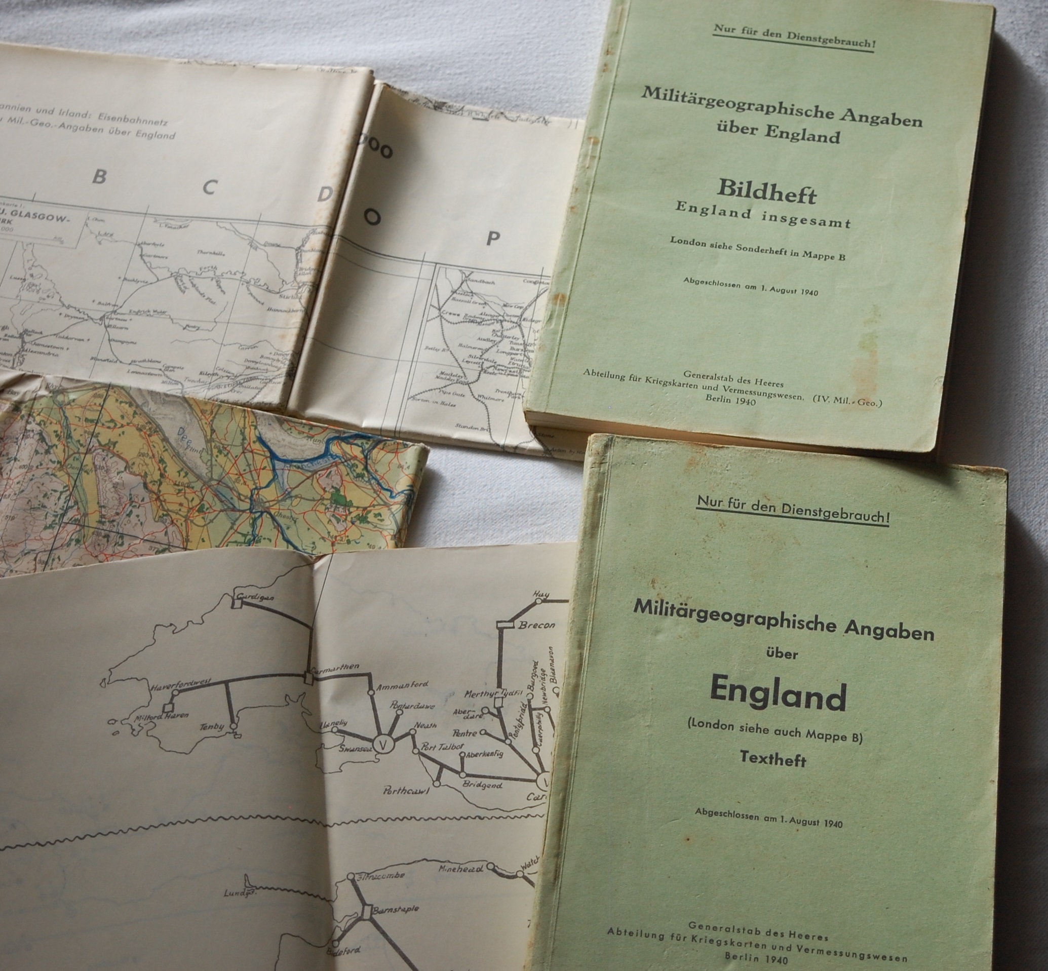
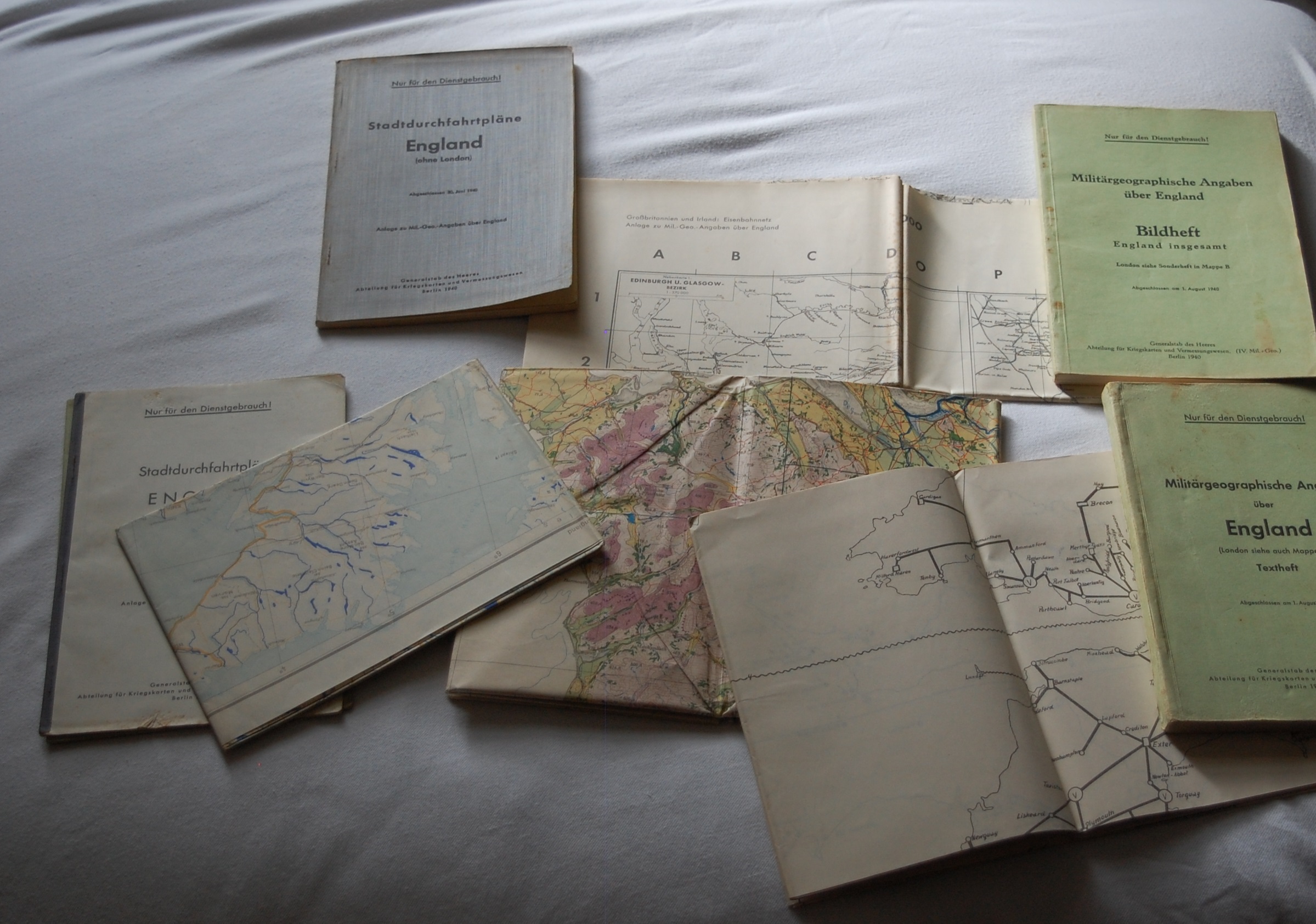
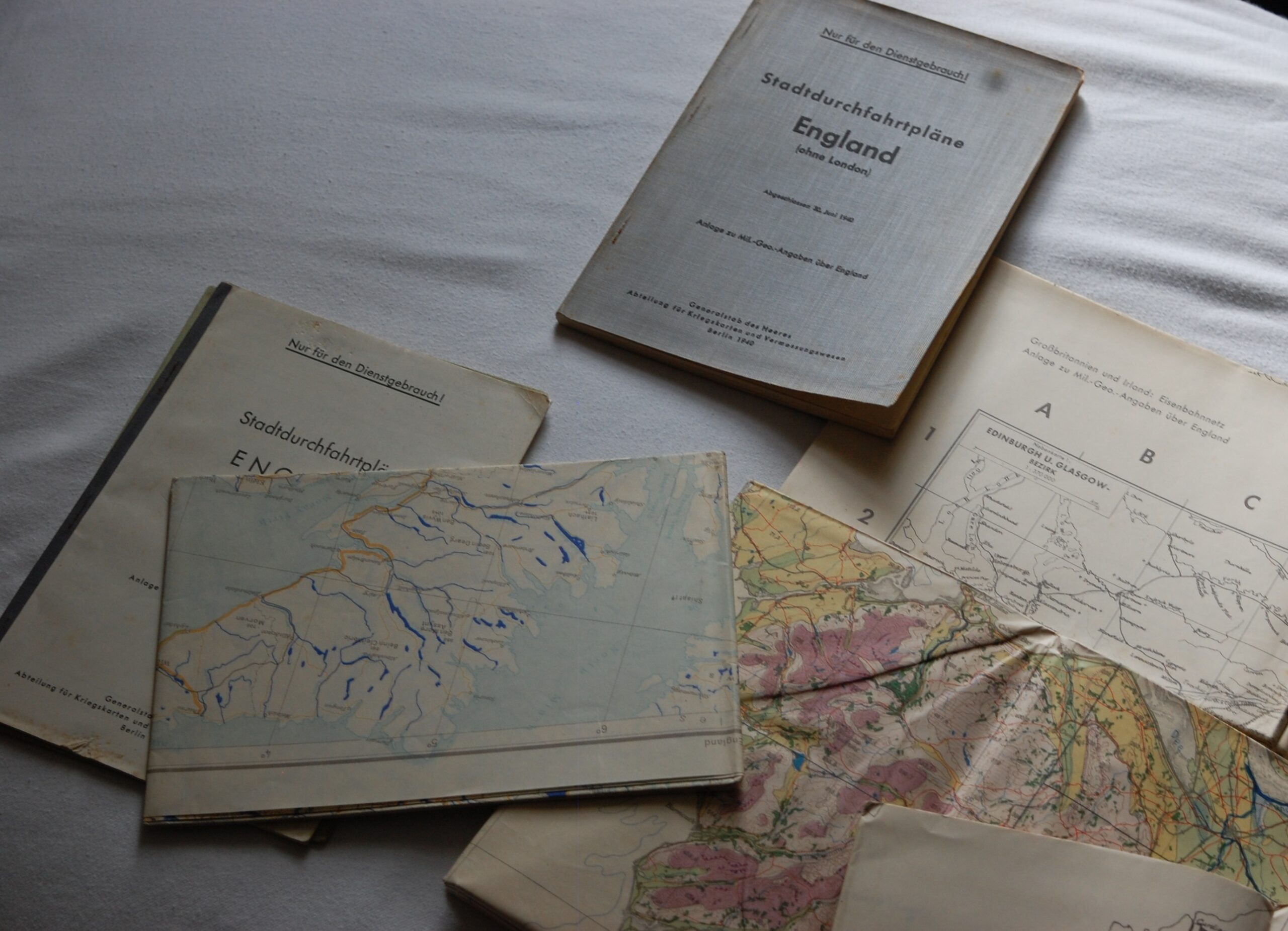
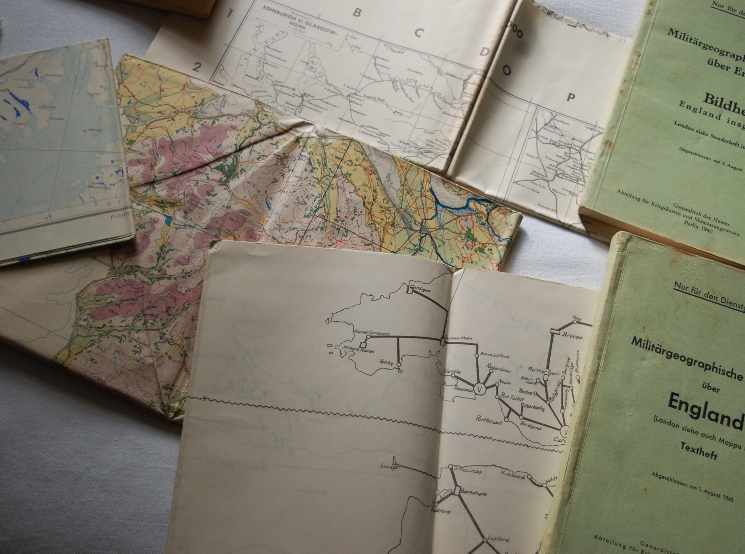
WW2 German “Operation Sea Lion” Invasion Publications And Maps of England
£295.00
1 in stock
Please note SumUp checkout accepts debit and credit card payments as a guest. No account required.
WW2 German “Operation Sea Lion” Invasion Publications And Maps of England
Set of the fold out maps of England, produced in 1940 for the proposed invasion of England. These are the early maps produced for the invasion, most of the available ones are the later printed examples from 1941. These come with the the “Textheft” information booklets, (Listed below) some Minor wear but still a good set.
Publications and Maps (Textheft & Bildhef)
City transit plans 1941
Military geographical information about England “England as a whole” 1940
City transit plans annex to mil-geo-data 1940
Military geographical information over England 1940
Map overview of the waters 1940
Radio stations of Great Britain and Ireland 1940
Railways of Great Britain and Ireland 1940
England Military Geographical Operations Map 1940
Call
+441388731397
Address
8-9 Dans Castle, Tow Law, County Durham, DL13 4AY
sales@elliottmilitary.co.uk

